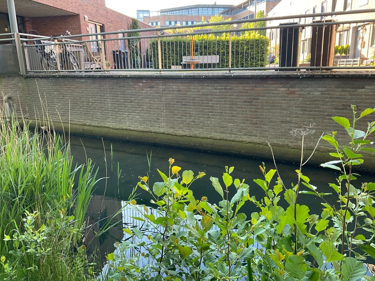
QUAY WALLS, UTRECHT
The municipality of Utrecht has more than 60 kilometres of quay walls and sheet piling. These structures are constantly exposed to various factors, which can cause damage or deterioration. This can have consequences for the stability and safety of the quay and its immediate surroundings. To systematically identify the associated risks, the municipality of Utrecht has developed the Utrecht Quay Wall Risk Framework (URK).
A wide range of data sources is used to ensure a reliable risk assessment. These include satellite measurements, aerial photographs, the Current Elevation Database for the Netherlands (AHN), soil data, archive documents, reports and construction drawings. Various GIS data are also taken into account, such as listings of listed buildings, tree maps and the water boards’ registers.
Commissioned by Wagemaker B.V., GEO2 Engineering B.V. is carrying out a risk analysis for the municipality of Utrecht covering more than a third of the total quay wall stock. Based on extensive archival research and technical judgement, we are identifying the potential risks for each quay wall. In doing so, we are helping to underpin management and maintenance decisions and to ensure the safety of quay walls in the city of Utrecht.